


22 km | 24 km-effort

Benutzer


Kostenlosegpshiking-Anwendung
 SityTrail
IGN / Geografische Institute
SityTrail World
Die Welt öffnet sich für Sie
Tour Wandern von 12 km verfügbar auf Normandie, Eure, Verneuil d'Avre et d'Iton. Diese Tour wird von tracegps vorgeschlagen.
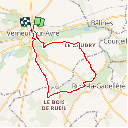
Circuit proposé par l'Office de Tourisme du Pays d'Avre, d'Eure et d'Iton. Ce circuit, version courte, franchit la frontière entre le Royaume de France et le Duché de Normandie. Plusieurs châteaux ponctuent l'itinéraire. Départ de l'église de La Madeleine à Verneuil-sur-Avre. Retrouvez le circuit et son descriptif sur le site de l'Office de Tourisme du Pays d'Avre, d'Eure et d'Iton.
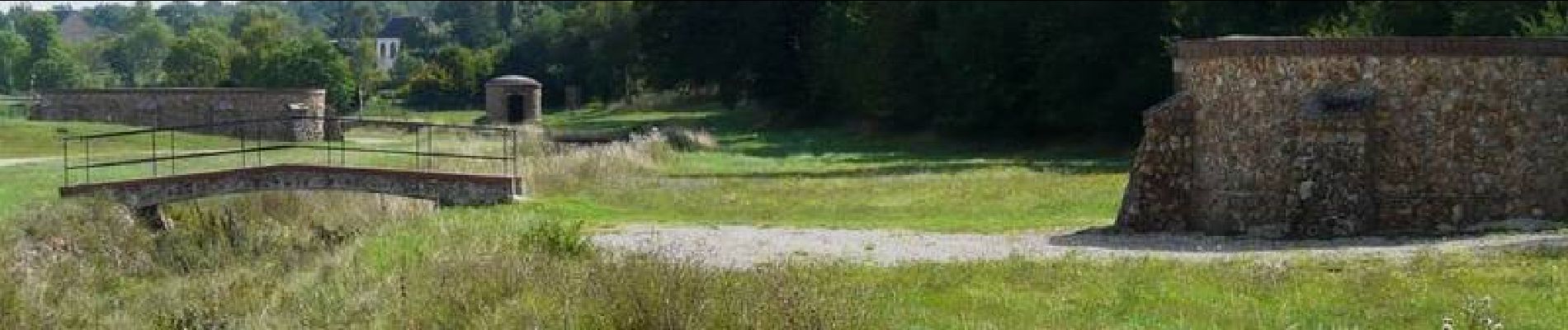
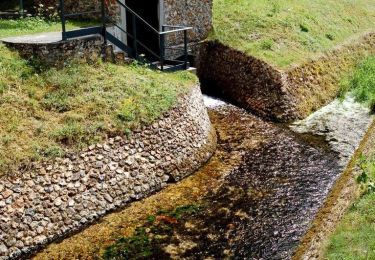
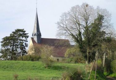
 - Verneuil-sur-Avre - Photo 1")
 - Verneuil-sur-Avre - Photo 2")
 - Verneuil-sur-Avre - Photo 3")
 - Verneuil-sur-Avre - Photo 4")
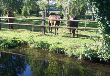
 - Verneuil-sur-Avre - Photo 5")
Wandern
Wandern

Wandern

Zu Fuß
Wandern
Wandern
Wandern

Mountainbike
Mountainbike